• USING DRONE-BASED TECHNOLOGIES TO INFORM WINEMAKING DECISIONS

  • AERIAL DECISION SUPPORT FOR WINEMAKERS

    .
    .
    .

    Go to ↓

  • COST-EFFECTIVE, IN-FIELD PLANS FOR OPTIMIZING QUALITY AND YIELD

    .
    .
    .

    Go to ↓

  • FOR MORE INFORMATION..

    .
    .
    .

    Go to ↓

PVWilliamInField-crop

OUR MISSION

We are a remote sensing company providing aerial decision support with tools created specific for the wine industry. We work with winemakers, vineyard managers, and grower relations departments to leverage new information sources into their key operations.

PV-eBeeDrone-1

WHAT WE DO

Multiple times during the wine-growing season, we scout your vineyards with our professional mapping drone to visualize spacial variation and collect rich amounts of data using multi-spectral imaging techniques.

PV-Grapes-crop

HOW YOU BENEFIT

We analyze and interpret the data collected and provide actionable insights that help growers and winemakers develop precise, cost-effective, in-field plans for optimizing quality and yield.

See Us In Action

The potential of drones in precision viticulture:

Precision Vine founder William Metz, working with Swiss tech firm senseFly, reports on the use and potential of drones in viticulture.

Itele France:

Dans les vignes, les drones se mettent au service des vendanges:

French television report from Chateau Montrose in Bordeaux.

Background

AERIAL DECISION SUPPORT FOR WINEMAKERS

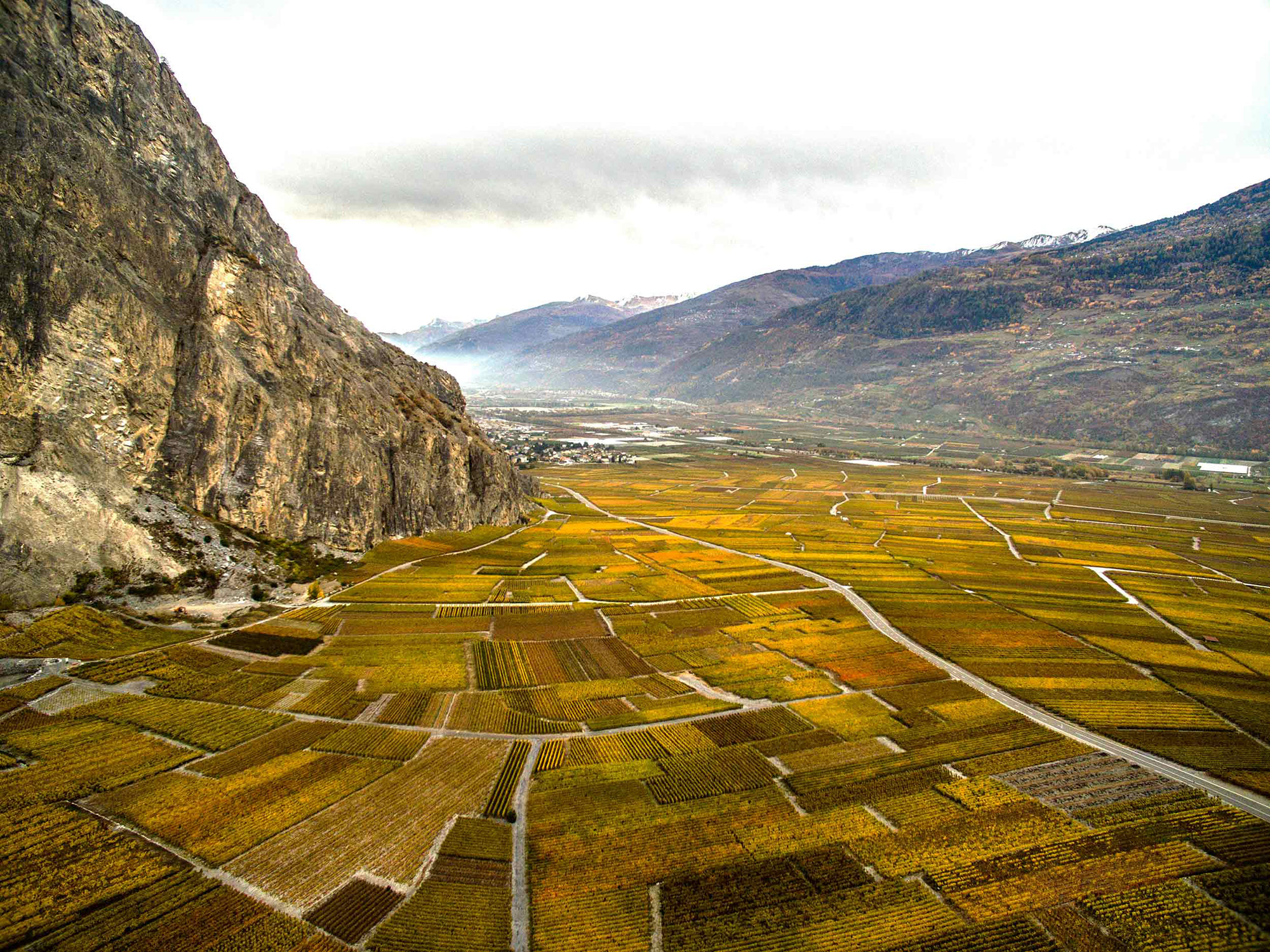
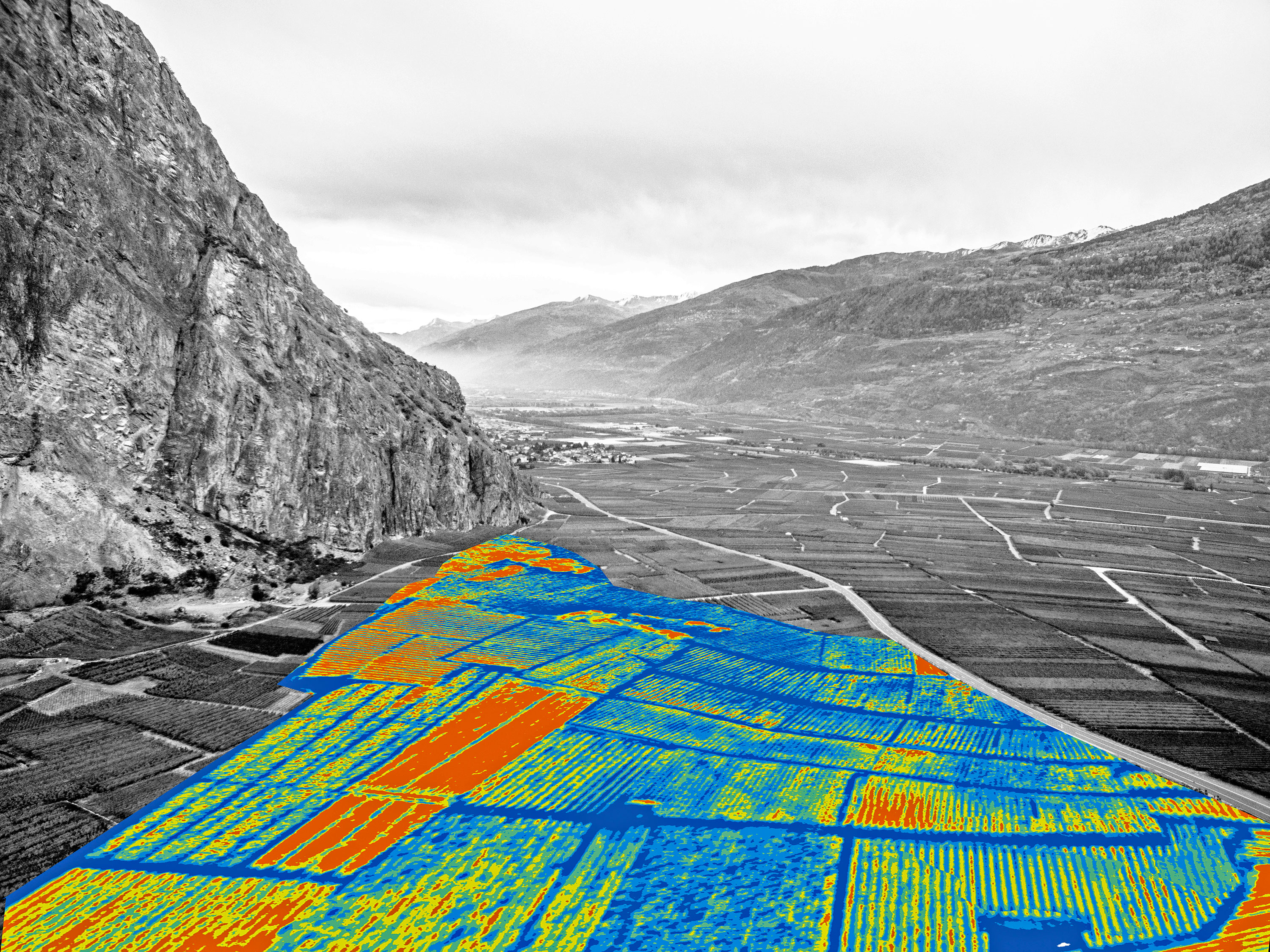
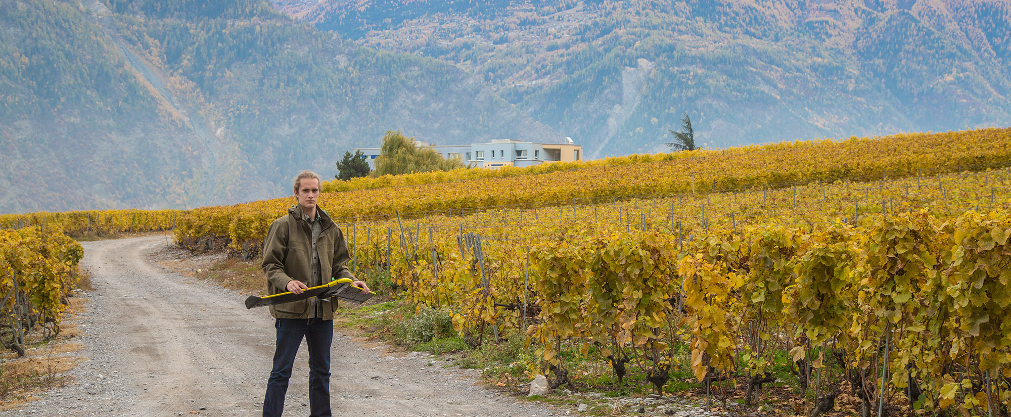
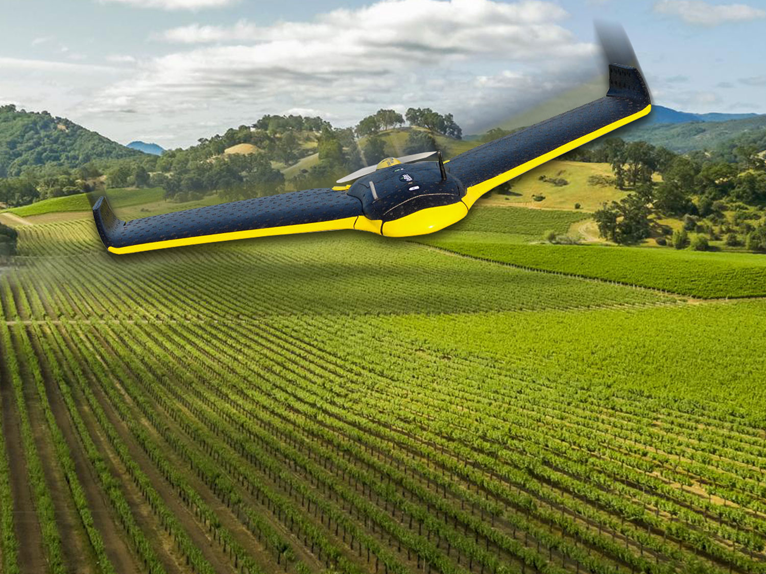
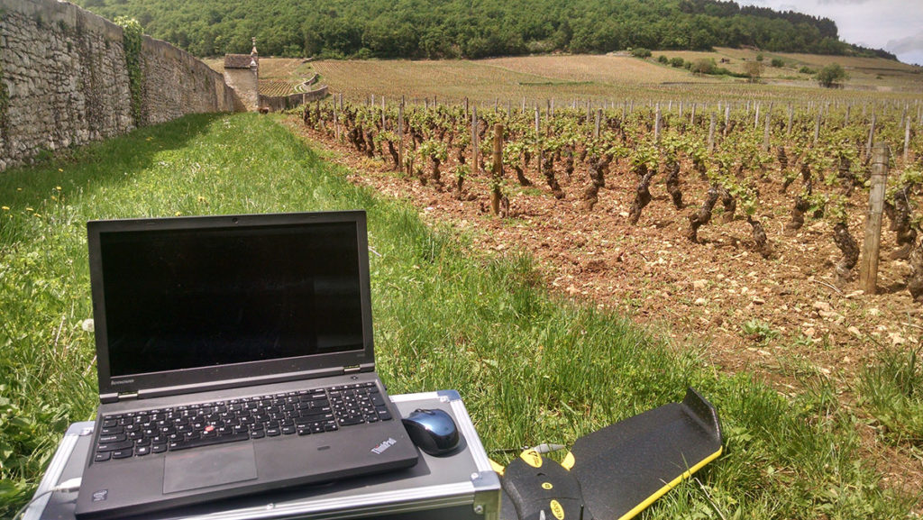
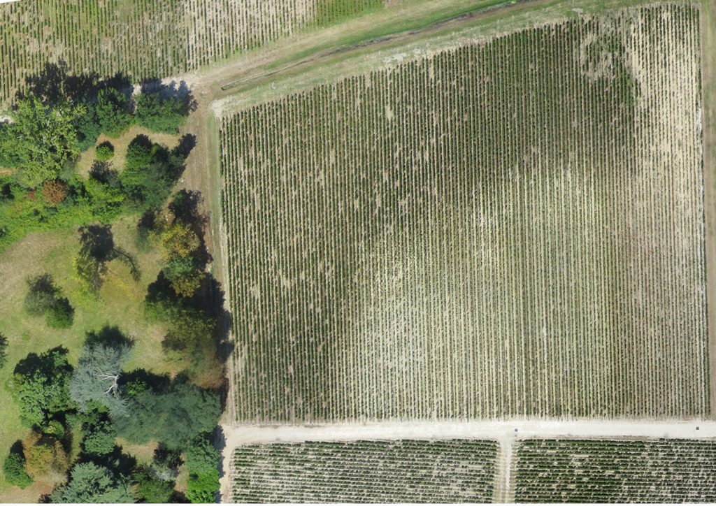
About Precision Vine


With a focus on improving wine quality, Precision Vine works with growers and winemakers to collect and analyze remote-sensing data and assist in integrating the information acquired into specific management plans. We offer high-resolution hyper/multispectral aerial imaging and associated vineyard specific data services to address vineyard heterogeneity, vine balance, irrigation management, harvest planning, disease mapping, nutrition needs, maturation curve and more. Through our large network of drone operators we currently offer our services in the United States, France, Italy, Spain, Argentina, and Australia.

William Metz


Intrigued early on by the emerging field of precision viticulture, Precision Vine founder William Metz interned with leading innovators while earning a Bachelor of Science degree in wine and viticulture from California Polytechnic University in San Luis Obispo, California, Continuing his research at HES-SO University of Applied Sciences and Arts Western Switzerland, he focused on drone applications in vineyard management while earning a Master of Life Sciences degree. In 2014 he was named laureate and awarded a year’s fellowship from the Villa D’Este Wine Symposium to study drone applications in 15 wine regions in Switzerland, France and Germany. Precision Vine is an outgrowth of that experience.

Email: william@precisionvine.com
Tele: +41.786.47.3981 (Lausanne)
Skype: Willie.Metz.

Background

See more, learn more, make better wine through precision viticulture

What We Do


Multiple times throughout the growing season, we utilize our eBeeAg professional mapping drone to scout your vineyard, capturing rich amounts of image-based data which we then interpret to help you make precise, cost-effective vineyard management and winemaking decisions.

Background

What aerial imaging provides


High-visible photography resolution spectrum

We are easily able to map and inspect large growing areas, providing chronological visuals of critical intervals in the crop cycle.

Multi-spectral imaging optimized for vineyards

We create NDVI and other vegetative indices to elucidate relationships between site characteristics, aiding you in evaluating plant health, stress and biomass integrated with your work flow.

High-resolution comprehensive zone maps and 3-D models

We extract useful information regarding spatial variation, hydrology, vigor, erosion risk, disease spread, fertilization and pesticide transfer, among other variables, enabling you to identify potential zones for segmenting harvest and taking corrective measures during the growth cycle.

Customer Feedback


“The drone was very helpful to perfectly visualize heterogeneous zones within the same vine plot, which we could see from the ground without being able to completely mark them out. In this way, we have been able to conduct ultra-fragmented harvesting, extremely precise and much closer to our soil map.”

Vincent Decup - Cellar Master
Background

COST-EFFECTIVE, IN-FIELD PLANS FOR OPTIMIZING QUALITY AND YIELD

How You Benefit


Environmental sensor measurements such as soil sampling, moisture estimates and canopy vigor are critical to forecasting maturation curves, harvest dates, quality and quantity in the vineyard. In the past, such measurements were possible to obtain only by extensive sampling in the field. Advanced drone technology, through the use of geographic information system (GIS) technology combined with thermal and multi-spectral imaging, allows vineyard managers and winemakers to delineate different levels of vine vigor, assess the overall health and production of a vineyard and fine-tune their management and harvest plans at a fraction of the time and cost required by strictly traditional methods. As the technology evolves, it will become an increasingly crucial tool for small-scale growers and cooperatives, who face a conundrum knowing they must increase productivity, quality and efficiency but are unable on their own to employ expensive and complicated equipment and analytics.

Aerial photography combined with multi-spectral imaging reveals much about the overall health of a vineyard.

Background

For more information…

GET IN TOUCH

For more information or to submit a request for proposal , please contact Precision Vine owner William Metz.


Email: william@precisionvine.com
Tele: +41.786.47.3981 (Lausanne, Switzerland)
Tele USA: +1.916.718.5665 (Sacramento, CA)